Google Maps Fauna Satellite Imagery Update
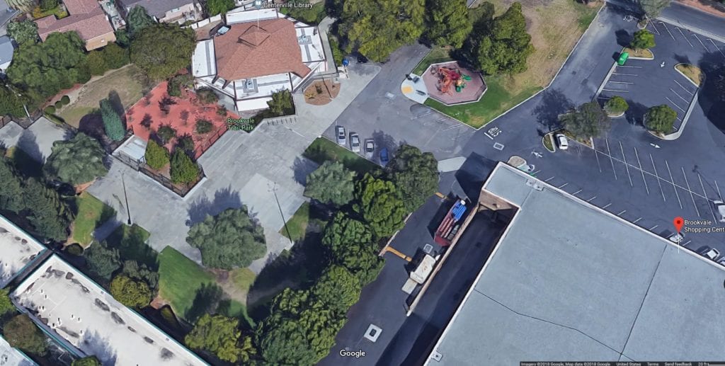
In the past few years, I’ve noticed Google Maps has added what I call a fauna layer of filtered and/or geoprocessed images when using zoomed in aerial imagery.
Google Maps Fauna Satellite Imagery Update Read More »


